Difference between revisions of "File:1926-11-11 AASHO US-Highways-Map Oregon.png"
Jump to navigation
Jump to search
(Map of the United States System of Highways in Oregon, as determined on November 11, 1926.) |
(No difference)
|
Latest revision as of 17:58, 6 October 2022
Summary
Map of the United States System of Highways in Oregon, as determined on November 11, 1926.
File history
Click on a date/time to view the file as it appeared at that time.
| Date/Time | Thumbnail | Dimensions | User | Comment | |
|---|---|---|---|---|---|
| current | 17:58, 6 October 2022 | 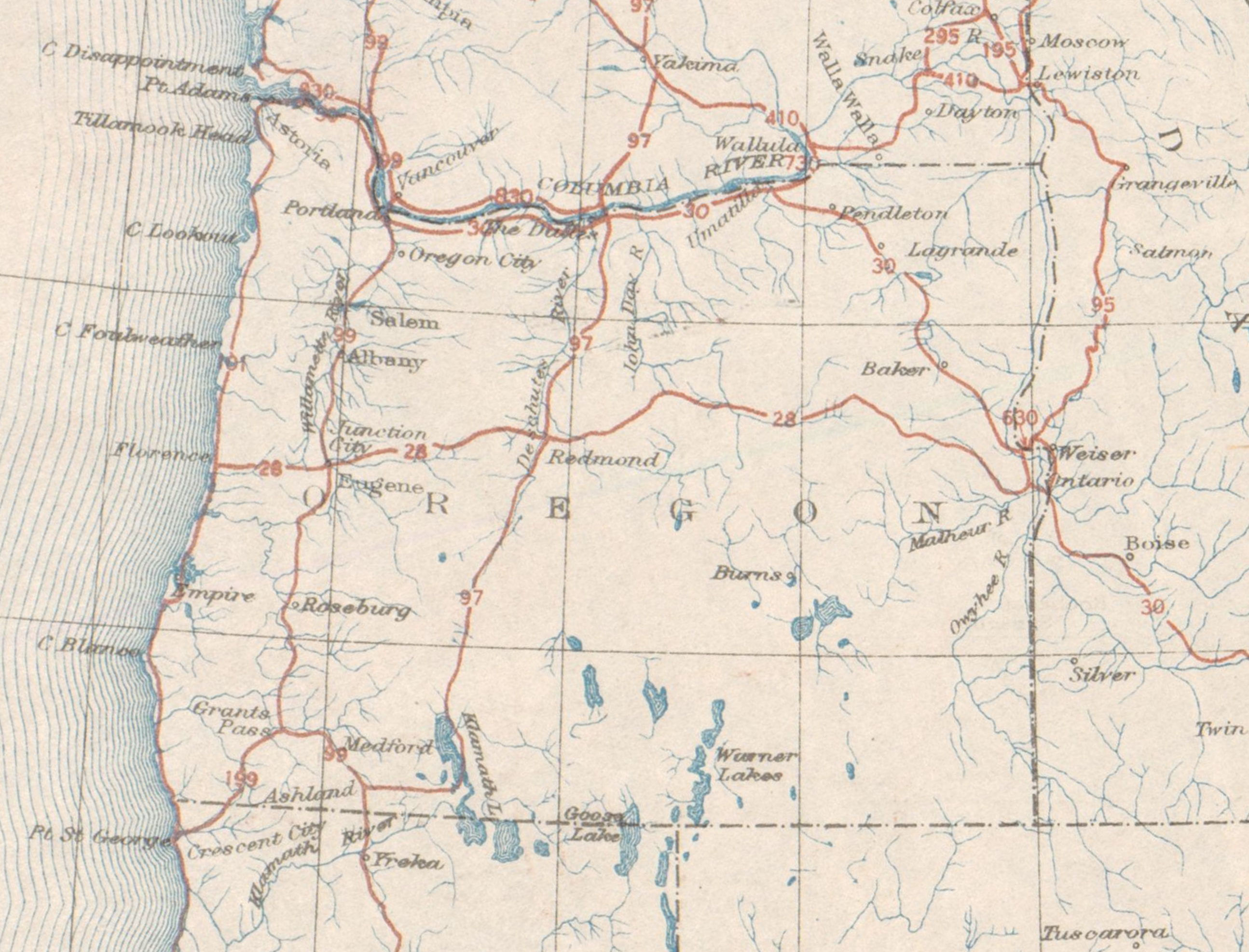 | 2,589 × 1,974 (5.51 MB) | Jonathan (talk | contribs) | Map of the United States System of Highways in Oregon, as determined on November 11, 1926. |
- You cannot overwrite this file.
File usage
There are no pages that use this file.