Difference between revisions of "File:1936 OfficialMap OregonCity-Wilsonville.png"
Jump to navigation
Jump to search
(A section of the 1936 official Oregon State Highway Map, showing a close-up view of SW/SE Portland, Oregon City, Wilsonville, Beaverton, Oswego, Canby, Tigard, Milwaukie, and other small cities and towns.) |
(No difference)
|
Latest revision as of 01:06, 4 February 2021
Summary
A section of the 1936 official Oregon State Highway Map, showing a close-up view of SW/SE Portland, Oregon City, Wilsonville, Beaverton, Oswego, Canby, Tigard, Milwaukie, and other small cities and towns.
File history
Click on a date/time to view the file as it appeared at that time.
| Date/Time | Thumbnail | Dimensions | User | Comment | |
|---|---|---|---|---|---|
| current | 01:06, 4 February 2021 | 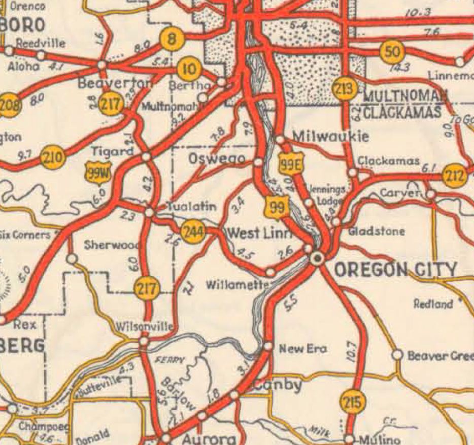 | 934 × 877 (1.31 MB) | Jonathan (talk | contribs) | A section of the 1936 official Oregon State Highway Map, showing a close-up view of SW/SE Portland, Oregon City, Wilsonville, Beaverton, Oswego, Canby, Tigard, Milwaukie, and other small cities and towns. |
- You cannot overwrite this file.
File usage
The following page uses this file: