File:OR 224-map.png
Jump to navigation
Jump to search
No higher resolution available.
OR_224-map.png (626 × 490 pixels, file size: 295 KB, MIME type: image/png)
Summary
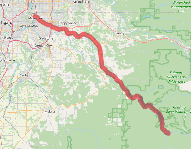
Map of modern OR-224 alignment
File history
Click on a date/time to view the file as it appeared at that time.
| Date/Time | Thumbnail | Dimensions | User | Comment | |
|---|---|---|---|---|---|
| current | 00:24, 15 May 2025 | | 626 × 490 (295 KB) | Jonathan (talk | contribs) | Map of modern OR-224 alignment |
- You cannot overwrite this file.
File usage
The following page uses this file: