File:1972-12-31 OfficialRouteMap OR-37.png
Jump to navigation
Jump to search
1972-12-31_OfficialRouteMap_OR-37.png (471 × 369 pixels, file size: 10 KB, MIME type: image/png)
Summary
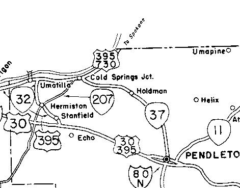
A snippet of the OSHD's "U.S. & Oregon Principal Route Numbers" map dated December 31, 1972 showing OR-37.
File history
Click on a date/time to view the file as it appeared at that time.
| Date/Time | Thumbnail | Dimensions | User | Comment | |
|---|---|---|---|---|---|
| current | 23:40, 5 October 2022 |  | 471 × 369 (10 KB) | Jonathan (talk | contribs) | A snippet of the OSHD's "U.S. & Oregon Principal Route Numbers" map dated December 31, 1972 showing OR-37. |
- You cannot overwrite this file.
File usage
The following page uses this file:
