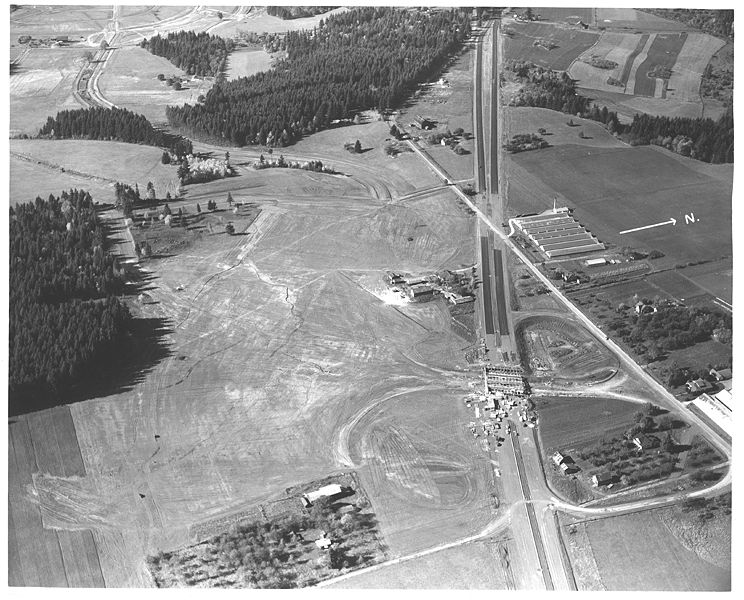
File:A2004-002-6716-aerial-view-sw-barnes-rd-highway-26-1949.jpg
Jump to navigation
Jump to search


Size of this preview: 744 × 600 pixels. Other resolutions: 298 × 240 pixels | 4,000 × 3,225 pixels.
Original file (4,000 × 3,225 pixels, file size: 1.26 MB, MIME type: image/jpeg)
Summary
Aerial view of the construction of the Barnes Road interchange on the Sunset Highway.
📆 1949
🖼 City of Portland Archives via Vintage Portland
🆔 A2004-002.6716
File history
Click on a date/time to view the file as it appeared at that time.
| Date/Time | Thumbnail | Dimensions | User | Comment | |
|---|---|---|---|---|---|
| current | 02:40, 14 February 2021 |  | 4,000 × 3,225 (1.26 MB) | Jonathan (talk | contribs) | Aerial view of the construction of the Barnes Road interchange on the Sunset Highway.<br /> 📆 1949<br /> 🖼 City of Portland Archives via [https://vintageportland.wordpress.com/2011/12/19/sunset-highway-1949/ Vintage Portland]<br /> 🆔 A2004-002.6716<br /> |
- You cannot overwrite this file.
File usage
There are no pages that use this file.