File:2016-02-20 portland-p2-post 1065.jpg
Jump to navigation
Jump to search


Size of this preview: 400 × 600 pixels. Other resolutions: 160 × 240 pixels | 3,744 × 5,616 pixels.
Original file (3,744 × 5,616 pixels, file size: 20.22 MB, MIME type: image/jpeg)
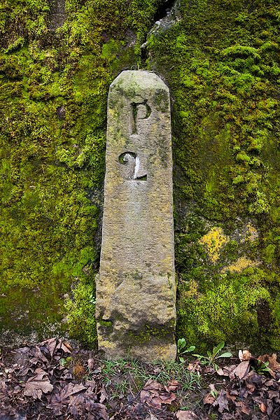
Baseline mile marker 2, numbered "P2", embedded inside the Lone Fir Cemetary's concrete wall at 2320 SE Stark Street, Portland.
📷 Jonathan Ledbetter
📆 14 November 2020
File history
Click on a date/time to view the file as it appeared at that time.
| Date/Time | Thumbnail | Dimensions | User | Comment | |
|---|---|---|---|---|---|
| current | 10:22, 8 May 2021 |  | 3,744 × 5,616 (20.22 MB) | Jonathan (talk | contribs) | Added GPS data |
| 10:10, 8 May 2021 |  | 3,744 × 5,616 (20.22 MB) | Jonathan (talk | contribs) |
- You cannot overwrite this file.
File usage
The following page uses this file: